|
This
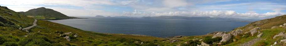
assignment is intended to provide a sense of the physical contours of Ireland
and the terrain over which Irish history has unfolded. It will give an
appreciation of the topography, distances, cities, counties, and political
boundaries of Ireland from the 1801 Act of Union to the present day.
You are encouraged to use S.J. Connolly (ed.), Oxford Companion to
Irish History as well as other reference works and historical atlases.
You are not obligated to complete this assignment on your own. You may collaborate with
each other in preparing your maps (but beware of shared errors). All items must be clearly
labeled on the maps (not number-keyed to a list in the margin) so that future reference
is easy for you and grading is easy for the instructors. Grades will be based primarily on accuracy
and neatness, but artistic flourish and creativity will also be considered.
The blank maps supplied are the ones that must be used. Do not submit computer-generated designs.
Please staple the two maps together and be sure to put your name on both pages.
Maps are due at the beginning of class on Monday, 16 September.
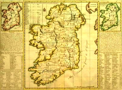
MAP I
In black ink draw the border between Northern Ireland (six counties)
and Éire/Republic of Ireland.
Cities:
Athlone
Belfast
Dublin
Galway
Omagh
Roscommon
Tipperary |
Armagh
Castlebar
Dundalk
Limerick
Mullingar
Rosslare
Waterford |
Bantry
Drogheda
Dungarvan
Kilkenny
Newry
Skibbereen
Wexford |
Cork/Queenstown
Derry/Londonderry
Enniskillen
Knock
Port Laoise
Stormont
Wicklow |
|
MAP II
In black ink draw the borders of the four historic provinces of Ireland:
Connacht
|
Leinster
|
Munster
|
Ulster (nine counties)
|
Counties:
Antrim
Cork
Kerry
|
Armagh
Donegal
Mayo
|
Cavan
Down
Tyrone
|
Clare
Galway
Wexford
|
Geographic Features:
Aran Islands
Ring of Kerry
|
Atlantic Ocean
River Liffey
|
River Boyne
Lough Neath
|
Irish Sea
River Shannon
|
|
|